Satellite Imagery Manipulation Highlights Growing Disinformation Risks in Gulf Conflicts
Published on: 2026-03-25
AI-powered OSINT brief from verified open sources. Automated NLP signal extraction with human verification. See our Methodology and Why WorldWideWatchers.
Intelligence Report: When Satellite Data Becomes a Weapon
1. BLUF (Bottom Line Up Front)
The manipulation of satellite imagery by Iran highlights the increasing contestation of satellite infrastructure in the Gulf region, impacting intelligence reliability and geopolitical stability. The most likely hypothesis is that state actors are deliberately manipulating satellite data to influence perceptions during heightened regional tensions. This development affects military, intelligence, and civilian sectors reliant on satellite data, with a moderate confidence level in this assessment.
2. Competing Hypotheses
- Hypothesis A: Iran is actively engaging in disinformation campaigns by manipulating satellite imagery to mislead adversaries and the international community. This is supported by the recent debunked imagery incident and aligns with Iran’s strategic interest in countering Western influence. However, the extent of such activities and their coordination with other state actions remain uncertain.
- Hypothesis B: The manipulated imagery incident was an isolated act by non-state actors or rogue elements within Iran, not indicative of a broader state-sponsored strategy. This hypothesis is less supported due to the strategic nature of the imagery manipulation aligning with state interests.
- Assessment: Hypothesis A is currently better supported due to the strategic implications of the imagery manipulation aligning with Iran’s broader geopolitical objectives. Key indicators that could shift this judgment include evidence of similar activities by other regional actors or confirmation of non-state involvement.
3. Key Assumptions and Red Flags
- Assumptions: Satellite data is a critical component of regional intelligence and military operations; state actors have the capability and intent to manipulate such data; regional tensions will continue to drive information warfare.
- Information Gaps: The full extent of Iran’s capabilities in satellite data manipulation and the involvement of other regional actors in similar activities.
- Bias & Deception Risks: Confirmation bias towards attributing all disinformation to state actors; potential manipulation of open-source intelligence by adversaries to mislead analysts.
4. Implications and Strategic Risks
The manipulation of satellite data could exacerbate regional tensions, leading to miscalculations or escalations in military engagements. It may also undermine trust in open-source intelligence, complicating diplomatic and military decision-making.
- Political / Geopolitical: Increased mistrust among Gulf states and Western allies, potential for diplomatic rifts.
- Security / Counter-Terrorism: Heightened risk of misinterpretation of military movements, impacting operational readiness and response strategies.
- Cyber / Information Space: Expansion of cyber operations targeting satellite data integrity, increasing the complexity of information warfare.
- Economic / Social: Potential disruptions to commercial satellite services, affecting regional economic activities reliant on satellite communications.
5. Recommendations and Outlook
- Immediate Actions (0–30 days): Enhance monitoring of satellite data sources for signs of manipulation; engage with commercial satellite providers to ensure data integrity.
- Medium-Term Posture (1–12 months): Develop partnerships with regional allies to share intelligence on satellite data integrity; invest in counter-disinformation capabilities.
- Scenario Outlook:
- Best: Regional cooperation leads to improved satellite data security and reduced manipulation incidents.
- Worst: Escalation of conflicts due to misinterpretation of manipulated data, leading to military engagements.
- Most-Likely: Continued low-level manipulation efforts, with periodic debunking by OSINT communities.
6. Key Individuals and Entities
- Not clearly identifiable from open sources in this snippet.
7. Thematic Tags
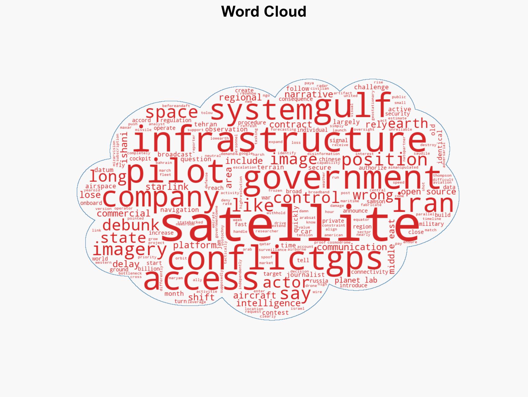
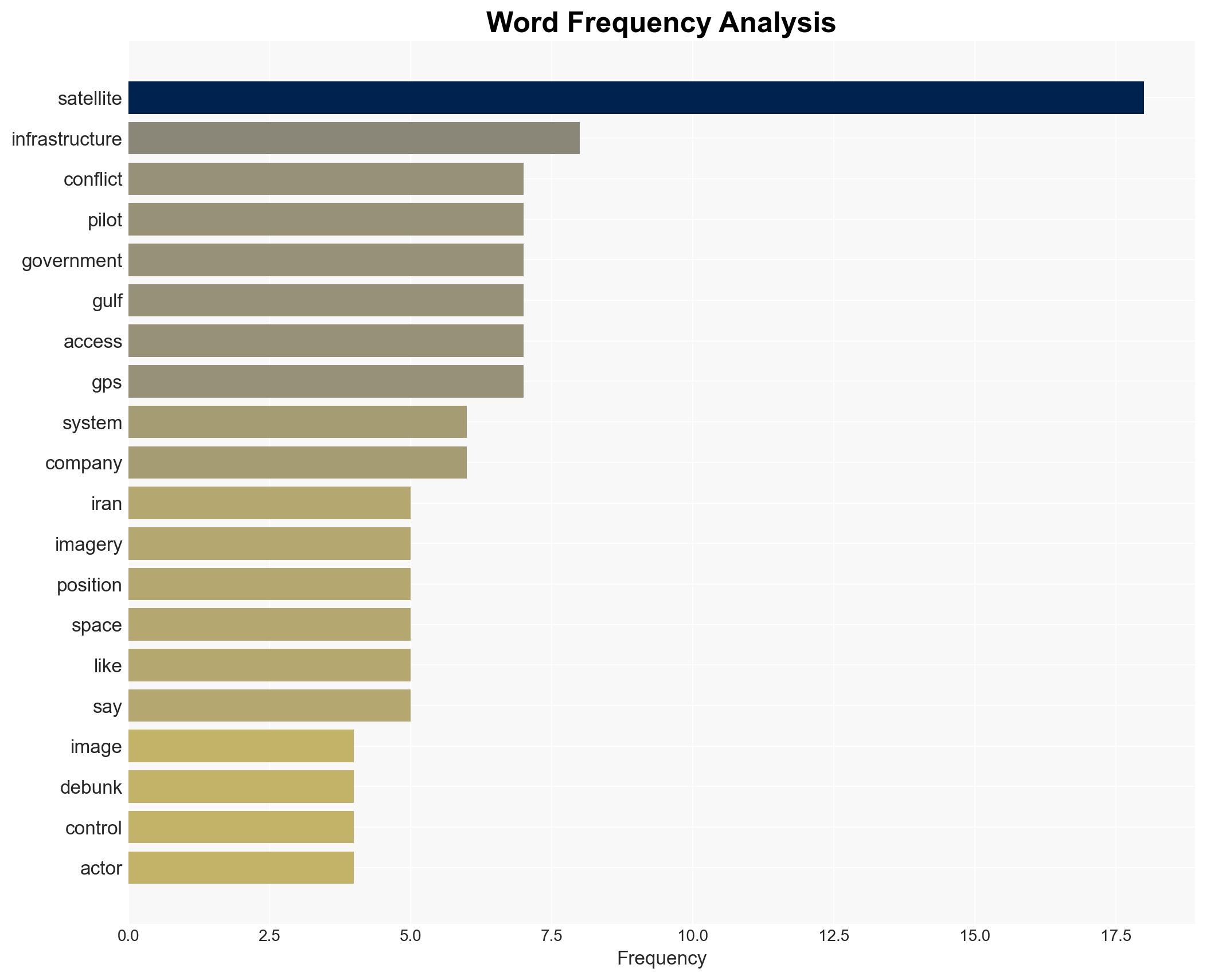
regional conflicts, satellite data, disinformation, Gulf region, Iran, geopolitical tensions, information warfare, regional security
Structured Analytic Techniques Applied
- Causal Layered Analysis (CLA): Analyze events across surface happenings, systems, worldviews, and myths.
- Cross-Impact Simulation: Model ripple effects across neighboring states, conflicts, or economic dependencies.
- Scenario Generation: Explore divergent futures under varying assumptions to identify plausible paths.
- Adversarial Threat Simulation: Model hostile behavior to identify vulnerabilities.
Explore more:
Regional Conflicts Briefs ·
Daily Summary ·
Support us