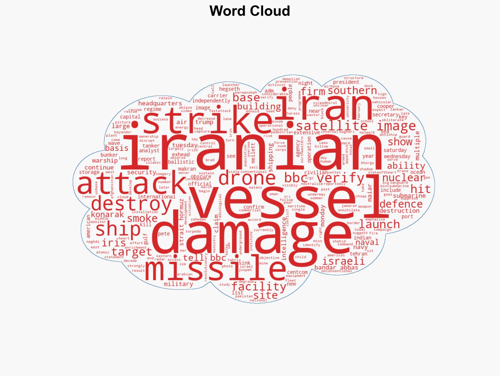
US-Israeli Strikes Damage Iranian Navy and Nuclear Facilities, Satellite Images Reveal
Published on: 2026-03-04
AI-powered OSINT brief from verified open sources. Automated NLP signal extraction with human verification. See our Methodology and Why WorldWideWatchers.
Intelligence Report: Satellite images show Iranian navy and nuclear sites hit by US-Israeli strikes
1. BLUF (Bottom Line Up Front)
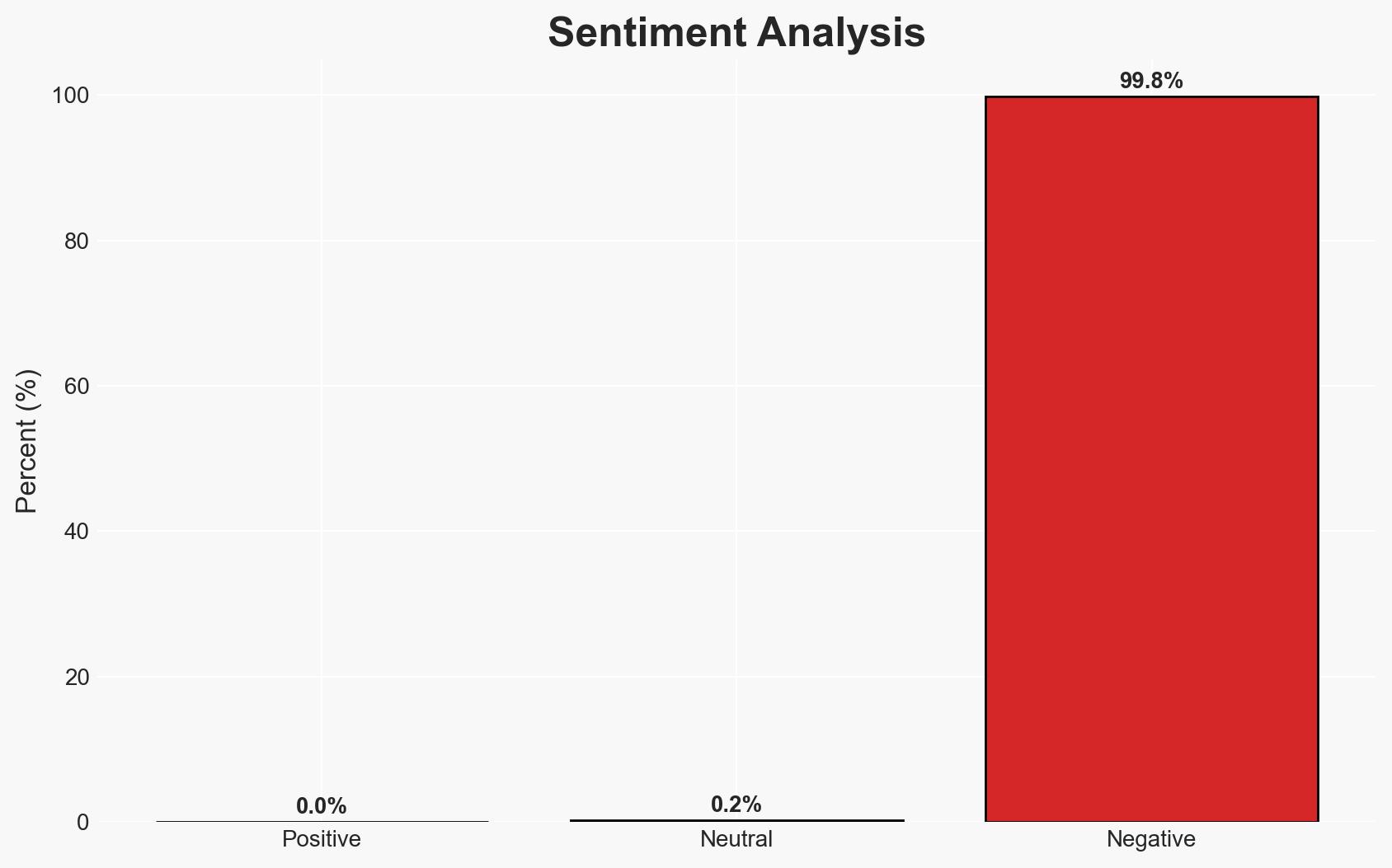
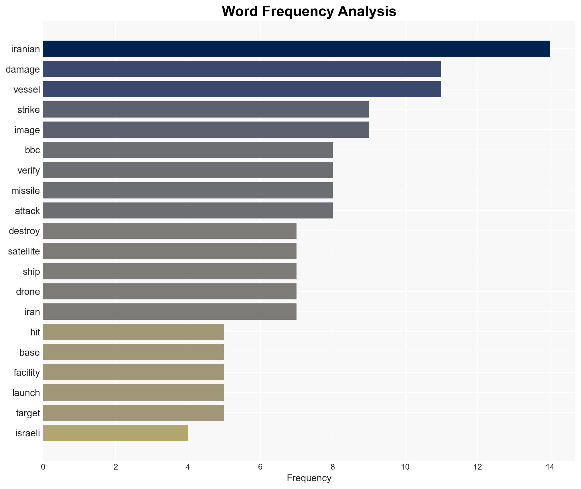
Recent US-Israeli strikes have significantly degraded Iranian naval capabilities, with at least 11 vessels damaged or destroyed, including key assets like the IRINS Makran. This action likely aims to suppress Iran’s maritime threat potential. The overall confidence level in this assessment is moderate, given the reliance on satellite imagery and unverified reports.
2. Competing Hypotheses
- Hypothesis A: The US and Israel conducted coordinated strikes to neutralize Iran’s naval capabilities and deter further maritime aggression. This is supported by satellite imagery and official statements but lacks independent verification of all claimed targets.
- Hypothesis B: The strikes were primarily a show of force aimed at domestic audiences in the US and Israel, with limited strategic impact on Iran’s naval operations. This is contradicted by the scale of reported damage and the strategic significance of the targets.
- Assessment: Hypothesis A is currently better supported due to the direct evidence of damage and the strategic context of US-Israeli military cooperation. Indicators that could shift this judgment include verified reports of Iranian naval operations resuming or diplomatic responses from Iran.
3. Key Assumptions and Red Flags
- Assumptions: The reported satellite images accurately reflect the current state of Iranian naval assets; US-Israeli statements are credible; the strikes were intended to degrade Iranian naval capabilities.
- Information Gaps: Independent verification of the full extent of damage; Iran’s immediate military and diplomatic response; potential undisclosed Iranian naval assets.
- Bias & Deception Risks: Potential bias in US-Israeli reporting; satellite imagery interpretation errors; Iranian disinformation or concealment efforts.
4. Implications and Strategic Risks
This development could lead to heightened tensions in the region, affecting maritime security and international shipping routes.
- Political / Geopolitical: Potential escalation in US-Iran and Israel-Iran tensions; increased diplomatic isolation of Iran.
- Security / Counter-Terrorism: Possible retaliatory actions by Iran or its proxies; increased military readiness in the region.
- Cyber / Information Space: Potential for cyber retaliation by Iran; increased propaganda efforts by involved parties.
- Economic / Social: Disruption of shipping through the Strait of Hormuz; potential impacts on global oil prices.
5. Recommendations and Outlook
- Immediate Actions (0–30 days): Increase monitoring of Iranian naval movements; enhance security for regional maritime assets; engage in diplomatic channels to de-escalate tensions.
- Medium-Term Posture (1–12 months): Strengthen regional alliances; develop contingency plans for potential Iranian retaliation; invest in intelligence capabilities to monitor Iranian military developments.
- Scenario Outlook:
- Best: Diplomatic resolution reduces tensions, with no further military engagements.
- Worst: Escalation leads to broader regional conflict impacting global trade.
- Most-Likely: Continued low-level tensions with sporadic incidents and diplomatic maneuvering.
6. Key Individuals and Entities
- US President Donald Trump
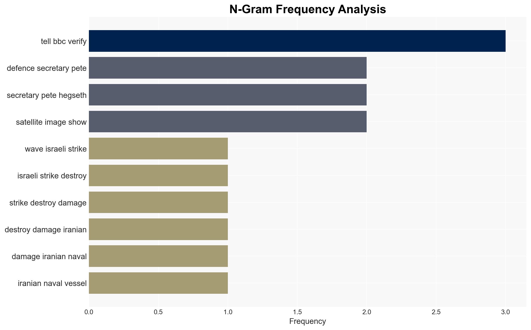
- US Defence Secretary Pete Hegseth
- Adm Brad Cooper, US Central Command
- Not clearly identifiable from open sources in this snippet for Iranian officials.
7. Thematic Tags
regional conflicts, military strikes, US-Israel cooperation, Iranian navy, maritime security, geopolitical tensions, satellite imagery, naval warfare
Structured Analytic Techniques Applied
- Causal Layered Analysis (CLA): Analyze events across surface happenings, systems, worldviews, and myths.
- Cross-Impact Simulation: Model ripple effects across neighboring states, conflicts, or economic dependencies.
- Scenario Generation: Explore divergent futures under varying assumptions to identify plausible paths.
- Network Influence Mapping: Map influence relationships to assess actor impact.
Explore more:
Regional Conflicts Briefs ·
Daily Summary ·
Support us